
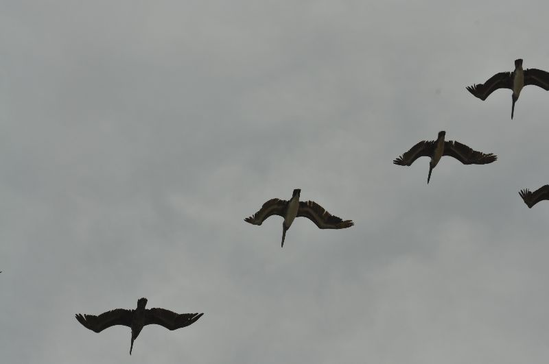
These aren’t crows, but don’t follow them either!
This is one of my favorite experiences as a Geocacher, however, it also served as a vivid reminder not to flirt with disaster.
Stacie and I had been hiking in the mountains around our home in Colorado Springs and were using Geocaches as our waypoints for our route. We were having a great day finding hidden containers in the woods and talking along the way. That is, until we decided to go find Cheyenne Mountain’s Heart (GCJV6P).
The problem started before we left the house. I had researched the terrain at each cache, but, I had not researched the terrain in-between caches. We would find out that you run into a 200 foot high, rock wall when you use the “As The Crow Flies” navigation method. We should have called it a day and planned to return when better prepared. We didn’t do that.

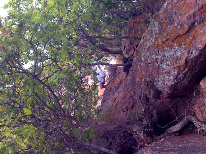
At the top of the rock climb!
We started free-climbing the rock face without a rope, harness, chalk, helmets, gloves, and apparently, common sense. This was such a treacherous ascent, that in order for me to see Stacie I had to look straight down. At times the hand holds were so far apart that I had to back down a bit so that Stacie could use my leg to pull herself to the rock crevice.
We attacked the climb and made slow progress as we marveled at the panoramic beauty beneath us. Along the way we were amazed that a tree could grow directly out of the rock wall with no visible means of support.
We made it all the way to the top and took a couple minutes to celebrate. The pictures we took don’t reveal how menacing the climb looked from the top. It was at that time that we both agreed that we shouldn’t have attempted such a perilous act. I glanced down at the GPSr and it indicated that we were still 237 feet from the cache! The outcropping we were on was only about 25 feet wide. We would have to descend the other side.
The correct route to the cache.
The South side offered us a safe path down and we took it. We traversed the deep ravine and as I was getting my bearings Stacie noticed the dark and ominous clouds overhead. She surveyed the weather and stated that we should leave due to the imminent lightning about to rain down upon us. I told her that we were still about 150 feet from the cache and we should find a way up the next rock wall. Just as she was starting to counter the statement with her own, a bolt released from above and the hair on my arm stood straight up. She said let’s go NOW!
The lightning chased us down the mountain and we made it to the car just as the bottom dropped out of those clouds that had threatened us. It turns out, that we couldn’t have made it to the cache from the direction we approached anyway. A year later, the Cache Owner guided us on a less technical adventure to the cache.
My Take-Away – Use the satellite view feature of maps and carefully plan your entire journey for the day. Remember to trace your steps from one cache to another looking for potential issues. Also, before you head over the cliff and through the thorns, take a look at the bigger picture. There is usually a well marked path that will take you there. Don’t follow the crow.