
Stacie and I met a Geocacher in 2009 who didn’t own a GPSr or smartphone. All of their 300+ cache finds had been made using Google Earth!
The cacher (who’s cache name escapes me) told me that she just copies/pastes cache 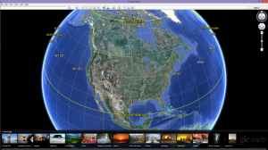 coordinates in the search window for Google Earth then prints the screen out (as well as the cache page) for reference in the field. At first I thought this was nuts but I soon realized that people do what they have to do when they want to participate in their favorite activity.
There are many uses for Google Earth as it pertains to Geocaching. I use it to find good parking coordinates when starting down a hiking or biking trail to grab a few caches. If you center the screen where you want it, and click on the yellow push pin on the toolbar at the top of the screen, a window will pop up and display the coordinates.
So it’s Just that easy, Copy the coordinates from the cache page, then paste into Google Earth’s search box. Click or tap the search icon and you’ll be treated to a bird’s eye view of the cache’s hiding spot. If you have Google Earth on your smartphone you can do this in the field and navigate by landmarks you see. Here’s a location that is home to a 5/5 difficulty/terrain cache. Copy and paste the coordinates (N 29° 27.985 W 098° 37.759) into Google Earth and see why it deserves the high ratings.
I challenge you to only use Google Earth for your next cache find. Let us know how you did. (Send us a comment).